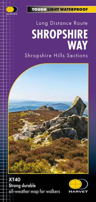
Shropshire Way XT40 Harvey Map
This Shropshire Way map covers the Shropshire Hills, with routes of the Shropshire Way clearly marked.
The map covers the majority of the Shropshire Hills Area of Outstanding Beauty, including several popular ridges and hills, such as Stiperstones, the Long Mynd, Wenlock Edge, Brown Clee Hill and Titterstone Clee Hill.
The map includes logistical information for walking the Shropshire Way, including accommodation options, shops and refreshments. Directions to the start of the route are included plus enlargements of the local towns and villages showing what facilities are available.
Harvey XT40 Maps are printed on light, waterproof and tear-resistant synthetic paper, and it is GPS compatible. The map key and legend is in English, French and German text.
$26.44
Shropshire Way XT40 Harvey Map—
$26.44
Shropshire Way XT40 Harvey Map
This Shropshire Way map covers the Shropshire Hills, with routes of the Shropshire Way clearly marked.
The map covers the majority of the Shropshire Hills Area of Outstanding Beauty, including several popular ridges and hills, such as Stiperstones, the Long Mynd, Wenlock Edge, Brown Clee Hill and Titterstone Clee Hill.
The map includes logistical information for walking the Shropshire Way, including accommodation options, shops and refreshments. Directions to the start of the route are included plus enlargements of the local towns and villages showing what facilities are available.
Harvey XT40 Maps are printed on light, waterproof and tear-resistant synthetic paper, and it is GPS compatible. The map key and legend is in English, French and German text.
The map covers the majority of the Shropshire Hills Area of Outstanding Beauty, including several popular ridges and hills, such as Stiperstones, the Long Mynd, Wenlock Edge, Brown Clee Hill and Titterstone Clee Hill.
The map includes logistical information for walking the Shropshire Way, including accommodation options, shops and refreshments. Directions to the start of the route are included plus enlargements of the local towns and villages showing what facilities are available.
Harvey XT40 Maps are printed on light, waterproof and tear-resistant synthetic paper, and it is GPS compatible. The map key and legend is in English, French and German text.
Product Information
Product Information
Shipping & Returns
Shipping & Returns
Description
This Shropshire Way map covers the Shropshire Hills, with routes of the Shropshire Way clearly marked.
The map covers the majority of the Shropshire Hills Area of Outstanding Beauty, including several popular ridges and hills, such as Stiperstones, the Long Mynd, Wenlock Edge, Brown Clee Hill and Titterstone Clee Hill.
The map includes logistical information for walking the Shropshire Way, including accommodation options, shops and refreshments. Directions to the start of the route are included plus enlargements of the local towns and villages showing what facilities are available.
Harvey XT40 Maps are printed on light, waterproof and tear-resistant synthetic paper, and it is GPS compatible. The map key and legend is in English, French and German text.
The map covers the majority of the Shropshire Hills Area of Outstanding Beauty, including several popular ridges and hills, such as Stiperstones, the Long Mynd, Wenlock Edge, Brown Clee Hill and Titterstone Clee Hill.
The map includes logistical information for walking the Shropshire Way, including accommodation options, shops and refreshments. Directions to the start of the route are included plus enlargements of the local towns and villages showing what facilities are available.
Harvey XT40 Maps are printed on light, waterproof and tear-resistant synthetic paper, and it is GPS compatible. The map key and legend is in English, French and German text.