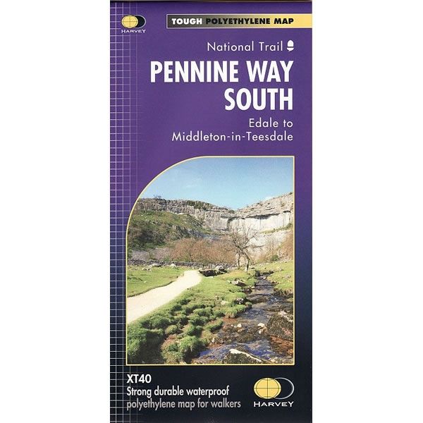
Pennine Way South XT40 Harvey Map
This is a complete map of Southern part of the Pennine Way long distance path that is shown on 1 sheet. The map covers the section from Edale to Middleton-in-Teesdale.
The map includes logistical information for walking the Southern part of the Pennine Way long distance path, including accommodation options, shops and refreshments. Directions to the start of the route are included plus enlargements of the local towns and villages showing what facilities are available.
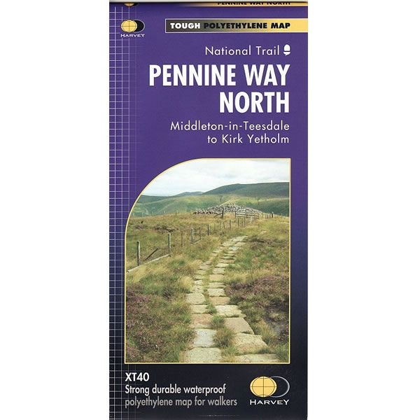
Just 2 Harvey XT40 maps cover the whole 268 mile route (431km). Each map starts and finishes near public transport, so there is no hassle with getting lifts.
Harvey XT40 Maps are printed on light, waterproof and tear-resistant synthetic paper, and it is GPS compatible. The map key and legend is in English, French and German text.
The map includes logistical information for walking the Southern part of the Pennine Way long distance path, including accommodation options, shops and refreshments. Directions to the start of the route are included plus enlargements of the local towns and villages showing what facilities are available.
Just 2 Harvey XT40 maps cover the whole 268 mile route (431km). Each map starts and finishes near public transport, so there is no hassle with getting lifts.
Harvey XT40 Maps are printed on light, waterproof and tear-resistant synthetic paper, and it is GPS compatible. The map key and legend is in English, French and German text.
$8.73
Original: $29.10
-70%Pennine Way South XT40 Harvey Map—
$29.10
$8.73Pennine Way South XT40 Harvey Map
This is a complete map of Southern part of the Pennine Way long distance path that is shown on 1 sheet. The map covers the section from Edale to Middleton-in-Teesdale.
The map includes logistical information for walking the Southern part of the Pennine Way long distance path, including accommodation options, shops and refreshments. Directions to the start of the route are included plus enlargements of the local towns and villages showing what facilities are available.
Just 2 Harvey XT40 maps cover the whole 268 mile route (431km). Each map starts and finishes near public transport, so there is no hassle with getting lifts.
Harvey XT40 Maps are printed on light, waterproof and tear-resistant synthetic paper, and it is GPS compatible. The map key and legend is in English, French and German text.
Product Information
Product Information
Shipping & Returns
Shipping & Returns
Description
This is a complete map of Southern part of the Pennine Way long distance path that is shown on 1 sheet. The map covers the section from Edale to Middleton-in-Teesdale.
The map includes logistical information for walking the Southern part of the Pennine Way long distance path, including accommodation options, shops and refreshments. Directions to the start of the route are included plus enlargements of the local towns and villages showing what facilities are available.
Just 2 Harvey XT40 maps cover the whole 268 mile route (431km). Each map starts and finishes near public transport, so there is no hassle with getting lifts.
Harvey XT40 Maps are printed on light, waterproof and tear-resistant synthetic paper, and it is GPS compatible. The map key and legend is in English, French and German text.
The map includes logistical information for walking the Southern part of the Pennine Way long distance path, including accommodation options, shops and refreshments. Directions to the start of the route are included plus enlargements of the local towns and villages showing what facilities are available.
Just 2 Harvey XT40 maps cover the whole 268 mile route (431km). Each map starts and finishes near public transport, so there is no hassle with getting lifts.
Harvey XT40 Maps are printed on light, waterproof and tear-resistant synthetic paper, and it is GPS compatible. The map key and legend is in English, French and German text.