Northumberland Coast Path XT40 Harvey Map
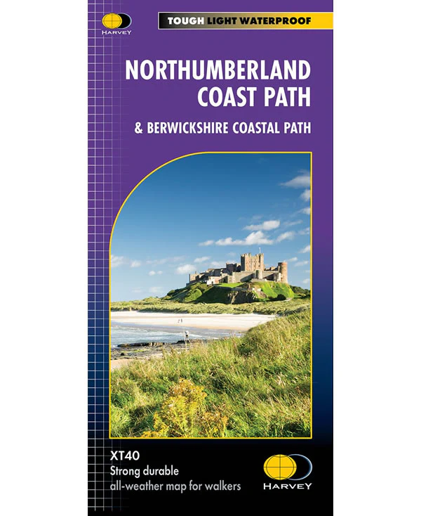
This is a complete map of the Northumberland Coastal Path and the Berwickshire Coastal Path, showing both routes on 1 map. The Northumberland Coastal Path is 64 miles long and runs from Cresswell in the south to Berwick-upon-Tweed in the north. The Berwickshire Coastal Path starts at Berwick-upon-Tweed in the south to Cockburnspath in the north.
The map includes logistical information for walking the Northumberland Coastal Path and the Berwickshire Coastal Path, including accommodation options, shops and refreshments. Directions to the start of the route are included plus enlargements of the local towns and villages showing what facilities are available.
Harvey XT40 Maps are printed on light, waterproof and tear-resistant synthetic paper, and it is GPS compatible. The map key and legend is in English, French and German text.
$26.44
Northumberland Coast Path XT40 Harvey Map—
$26.44
Northumberland Coast Path XT40 Harvey Map
This is a complete map of the Northumberland Coastal Path and the Berwickshire Coastal Path, showing both routes on 1 map. The Northumberland Coastal Path is 64 miles long and runs from Cresswell in the south to Berwick-upon-Tweed in the north. The Berwickshire Coastal Path starts at Berwick-upon-Tweed in the south to Cockburnspath in the north.
The map includes logistical information for walking the Northumberland Coastal Path and the Berwickshire Coastal Path, including accommodation options, shops and refreshments. Directions to the start of the route are included plus enlargements of the local towns and villages showing what facilities are available.
Harvey XT40 Maps are printed on light, waterproof and tear-resistant synthetic paper, and it is GPS compatible. The map key and legend is in English, French and German text.
The map includes logistical information for walking the Northumberland Coastal Path and the Berwickshire Coastal Path, including accommodation options, shops and refreshments. Directions to the start of the route are included plus enlargements of the local towns and villages showing what facilities are available.
Harvey XT40 Maps are printed on light, waterproof and tear-resistant synthetic paper, and it is GPS compatible. The map key and legend is in English, French and German text.
Product Information
Product Information
Shipping & Returns
Shipping & Returns
Description
This is a complete map of the Northumberland Coastal Path and the Berwickshire Coastal Path, showing both routes on 1 map. The Northumberland Coastal Path is 64 miles long and runs from Cresswell in the south to Berwick-upon-Tweed in the north. The Berwickshire Coastal Path starts at Berwick-upon-Tweed in the south to Cockburnspath in the north.
The map includes logistical information for walking the Northumberland Coastal Path and the Berwickshire Coastal Path, including accommodation options, shops and refreshments. Directions to the start of the route are included plus enlargements of the local towns and villages showing what facilities are available.
Harvey XT40 Maps are printed on light, waterproof and tear-resistant synthetic paper, and it is GPS compatible. The map key and legend is in English, French and German text.
The map includes logistical information for walking the Northumberland Coastal Path and the Berwickshire Coastal Path, including accommodation options, shops and refreshments. Directions to the start of the route are included plus enlargements of the local towns and villages showing what facilities are available.
Harvey XT40 Maps are printed on light, waterproof and tear-resistant synthetic paper, and it is GPS compatible. The map key and legend is in English, French and German text.