Medvednica Nature Park Southwest Walking Map [01]
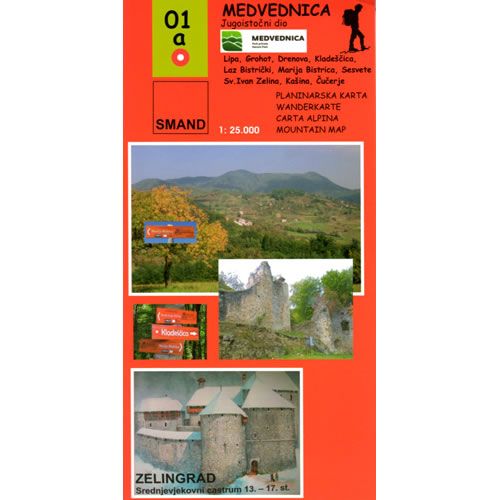
This Medvednica Nature Park walking map describes the walking paths and trails in the southwest part of Medvednica Nature Park, on the outskirts of Zagreb, the capital of Croatia. Included in this map is the highest peak in the Medvednica Nature Park, called Sljeme (1,033m), as well as Kameni Svatovi (485m), along with Medvedgrad fort that is only half an hour’s walk from the edge of the city.
The map details numerous walking, hiking and cycling routes, in the southwest part of Medvednica Nature Park,, complete with brief descriptions.
Published by SMAND (map number 01), the map legend/key is in Croatian, German, Italian, and English text. The northeast part of the park is covered by map number 01a.
Medvednica Nature Park Southwest Walking Map [01]
This Medvednica Nature Park walking map describes the walking paths and trails in the southwest part of Medvednica Nature Park, on the outskirts of Zagreb, the capital of Croatia. Included in this map is the highest peak in the Medvednica Nature Park, called Sljeme (1,033m), as well as Kameni Svatovi (485m), along with Medvedgrad fort that is only half an hour’s walk from the edge of the city.
The map details numerous walking, hiking and cycling routes, in the southwest part of Medvednica Nature Park,, complete with brief descriptions.
Published by SMAND (map number 01), the map legend/key is in Croatian, German, Italian, and English text. The northeast part of the park is covered by map number 01a.
Product Information
Product Information
Shipping & Returns
Shipping & Returns
Description
This Medvednica Nature Park walking map describes the walking paths and trails in the southwest part of Medvednica Nature Park, on the outskirts of Zagreb, the capital of Croatia. Included in this map is the highest peak in the Medvednica Nature Park, called Sljeme (1,033m), as well as Kameni Svatovi (485m), along with Medvedgrad fort that is only half an hour’s walk from the edge of the city.
The map details numerous walking, hiking and cycling routes, in the southwest part of Medvednica Nature Park,, complete with brief descriptions.
Published by SMAND (map number 01), the map legend/key is in Croatian, German, Italian, and English text. The northeast part of the park is covered by map number 01a.