![Biokovo Mountain Nature Park Walking and trekking Map [6]](/images/climbeurope.shop/images/product/biokovo-mountain-nature-park-walking-and-trekking-map-6-1.jpg)
Biokovo Mountain Nature Park Walking and trekking Map [6]
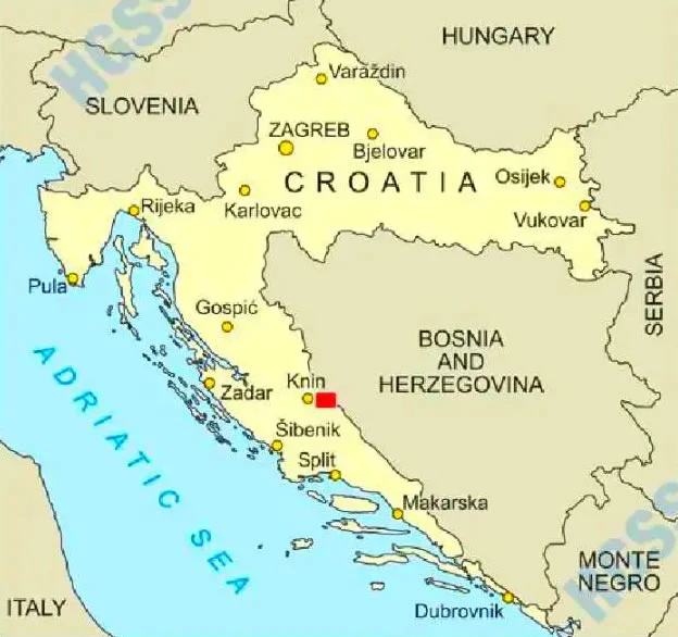
This map covers the walking, trekking and cycling trails in the Biokovo Mountain Nature Park near the town of Makarska. At a scale of 1:25,000, the map includes the mountain peaks of Vošac and Sveti Jura, plus the resorts of Baška Voda, Makarska, Tucpi and Podgora.
The map includes the following mountain peaks:
Sveti Jure 1762m, Štropac 1444m, Vošac 1422m, Kimet 1536m, Gologlav 1471m, Supin 1033m, Sutvid 792m, Veliki Šibenik 1457m, Borovac 1253m, Korenik 1556m, Sv.llija 1652m, and Miletinjak (Ščirevac) 1619m.
Published by Croatian Mountain Rescue Service (map number 6) the map legend/key is in Croatian and English text.
Map Scale is 1:25,000.
ISBN is 9789537527082.
Biokovo Mountain Nature Park Walking and trekking Map [6]
This map covers the walking, trekking and cycling trails in the Biokovo Mountain Nature Park near the town of Makarska. At a scale of 1:25,000, the map includes the mountain peaks of Vošac and Sveti Jura, plus the resorts of Baška Voda, Makarska, Tucpi and Podgora.
The map includes the following mountain peaks:
Sveti Jure 1762m, Štropac 1444m, Vošac 1422m, Kimet 1536m, Gologlav 1471m, Supin 1033m, Sutvid 792m, Veliki Šibenik 1457m, Borovac 1253m, Korenik 1556m, Sv.llija 1652m, and Miletinjak (Ščirevac) 1619m.
Published by Croatian Mountain Rescue Service (map number 6) the map legend/key is in Croatian and English text.
Map Scale is 1:25,000.
ISBN is 9789537527082.
Product Information
Product Information
Shipping & Returns
Shipping & Returns
Description
This map covers the walking, trekking and cycling trails in the Biokovo Mountain Nature Park near the town of Makarska. At a scale of 1:25,000, the map includes the mountain peaks of Vošac and Sveti Jura, plus the resorts of Baška Voda, Makarska, Tucpi and Podgora.
The map includes the following mountain peaks:
Sveti Jure 1762m, Štropac 1444m, Vošac 1422m, Kimet 1536m, Gologlav 1471m, Supin 1033m, Sutvid 792m, Veliki Šibenik 1457m, Borovac 1253m, Korenik 1556m, Sv.llija 1652m, and Miletinjak (Ščirevac) 1619m.
Published by Croatian Mountain Rescue Service (map number 6) the map legend/key is in Croatian and English text.
Map Scale is 1:25,000.
ISBN is 9789537527082.