Wales Coast Path Map No 2: Caernarfon to Cardigan
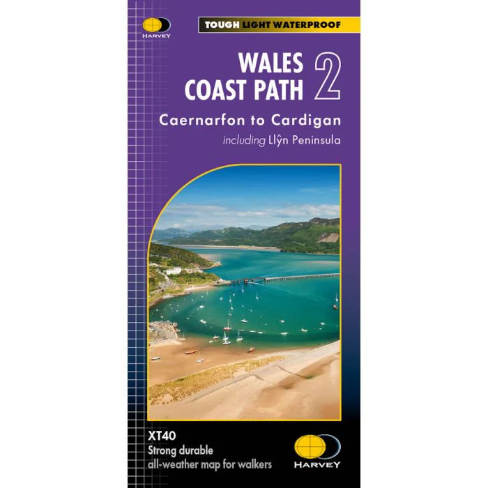
A map of the Wales Coast path from Caernarfon to Cardigan including the Llyn Peninsula, at a scale of 1:40,000.
Four Harvey maps cover the whole of the Wales Coast Path, a total of 1,400km (870 miles) and this is map 2 of 4.
Harvey XT40 Maps are printed on light, waterproof and tear-resistant synthetic paper, and it is GPS compatible. The map key and legend is in English, French and German text.
Scale, 1:40:000.
ISBN is 9781851376612.
Original: $29.10
-70%$29.10
$8.73Wales Coast Path Map No 2: Caernarfon to Cardigan
A map of the Wales Coast path from Caernarfon to Cardigan including the Llyn Peninsula, at a scale of 1:40,000.
Four Harvey maps cover the whole of the Wales Coast Path, a total of 1,400km (870 miles) and this is map 2 of 4.
Harvey XT40 Maps are printed on light, waterproof and tear-resistant synthetic paper, and it is GPS compatible. The map key and legend is in English, French and German text.
Scale, 1:40:000.
ISBN is 9781851376612.
Product Information
Product Information
Shipping & Returns
Shipping & Returns
Description
A map of the Wales Coast path from Caernarfon to Cardigan including the Llyn Peninsula, at a scale of 1:40,000.
Four Harvey maps cover the whole of the Wales Coast Path, a total of 1,400km (870 miles) and this is map 2 of 4.
Harvey XT40 Maps are printed on light, waterproof and tear-resistant synthetic paper, and it is GPS compatible. The map key and legend is in English, French and German text.
Scale, 1:40:000.
ISBN is 9781851376612.


