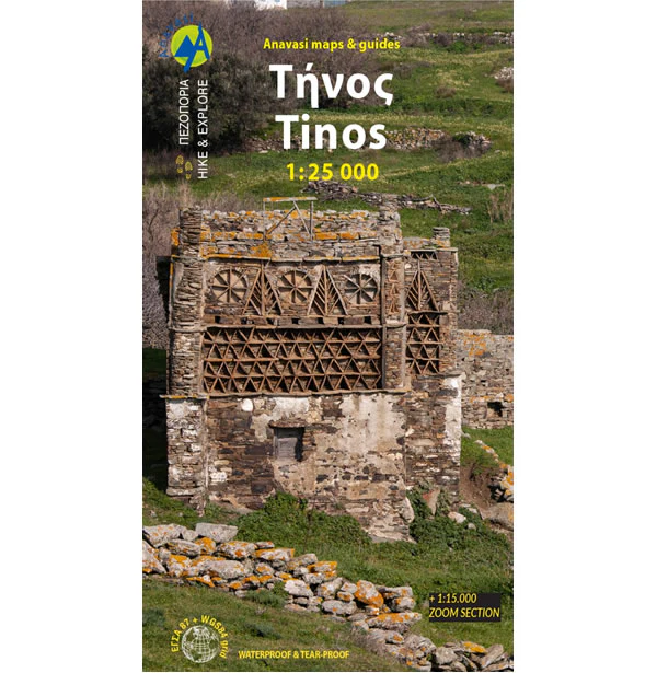
Tinos Walking Map
This map of Tinos shows all the walking and hiking trails to be found on the island at a scale of 1:25,000. Tinos is a hilly, but very cultivated landscape with beautiful walks that are not necessarily very strenuous.
There are many traditional villages on the island that are linked by a series of stone pathways called “kalderinia”. Along these paths and trails there are many beautiful churches, bridges, artistic dovecotes, windmills, and rural huts.
On the reverse of the map are several proposed hiking routes along with short descriptions. Exomvourgo at 640m high was heavily fortified by the Venetians and is one of several mountains on Tinos. The highest mountain is called Mount Tsiknias at 750m high.
Published in 2023 by Anavasi, with the text and legend in English and Greek throughout.
Product Information
Product Information
Shipping & Returns
Shipping & Returns
Description
This map of Tinos shows all the walking and hiking trails to be found on the island at a scale of 1:25,000. Tinos is a hilly, but very cultivated landscape with beautiful walks that are not necessarily very strenuous.
There are many traditional villages on the island that are linked by a series of stone pathways called “kalderinia”. Along these paths and trails there are many beautiful churches, bridges, artistic dovecotes, windmills, and rural huts.
On the reverse of the map are several proposed hiking routes along with short descriptions. Exomvourgo at 640m high was heavily fortified by the Venetians and is one of several mountains on Tinos. The highest mountain is called Mount Tsiknias at 750m high.
Published in 2023 by Anavasi, with the text and legend in English and Greek throughout.


