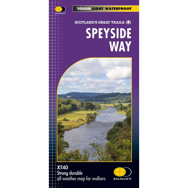
Speyside Way XT40 Harvey Map
This is a complete map of the Speyside Way showing the entire route on 1 map, at a scale of 1:40,000. The Speyside Way is 85 miles (137km) long and it starts at Newtonmore and finishes at Buckie on the coast, with a separate spur to Tomintoul. It is classed as one of Scotland’s great trails, passing through Kincraig, Aviemore, Nethybridge, Grantown and Fochabers.
The map includes logistical information for walking the Speyside Way, and includes the recent extension from Kincraig to Newtonmore that opened in early 2021.
Harvey XT40 Maps are printed on light, waterproof and tear-resistant synthetic paper, and it is GPS compatible. The map key and legend is in English, French and German text.
Product Information
Product Information
Shipping & Returns
Shipping & Returns
Description
This is a complete map of the Speyside Way showing the entire route on 1 map, at a scale of 1:40,000. The Speyside Way is 85 miles (137km) long and it starts at Newtonmore and finishes at Buckie on the coast, with a separate spur to Tomintoul. It is classed as one of Scotland’s great trails, passing through Kincraig, Aviemore, Nethybridge, Grantown and Fochabers.
The map includes logistical information for walking the Speyside Way, and includes the recent extension from Kincraig to Newtonmore that opened in early 2021.
Harvey XT40 Maps are printed on light, waterproof and tear-resistant synthetic paper, and it is GPS compatible. The map key and legend is in English, French and German text.


