Southern Highlands British Mountain Map
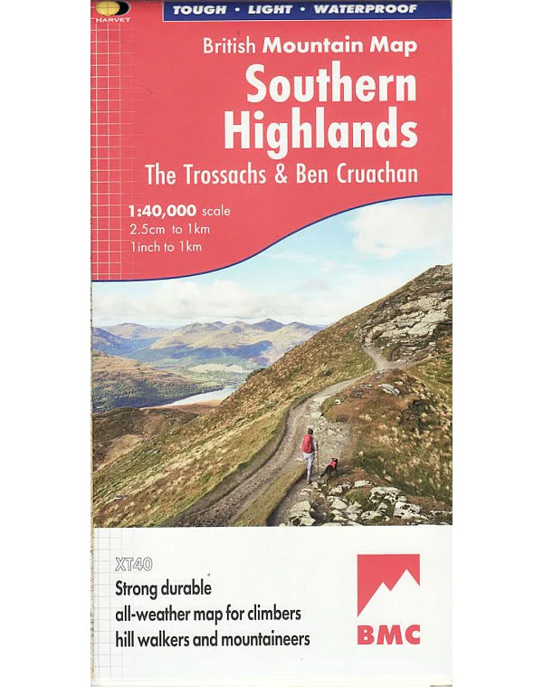
This Southern Highlands Map covers the main part of the Loch Lomond and the Trossachs National Park, plus an additional section showing Ben Cruachan and Ben Vorlich, in the Southern Scottish Highlands.
This map shows 63 hills over 2,000 feet, including 25 Munros, 24 Corbetts and 14 Grahams at a scale of 1:40,000.
Harvey British Mountain Maps are light, strong, durable, all-weather 100% waterproof maps for hillwalkers, mountaineers, and climbers.
This map shows 63 hills over 2,000 feet, including 25 Munros, 24 Corbetts and 14 Grahams at a scale of 1:40,000.
Harvey British Mountain Maps are light, strong, durable, all-weather 100% waterproof maps for hillwalkers, mountaineers, and climbers.
$7.54
Original: $25.12
-70%Southern Highlands British Mountain Map—
$25.12
$7.54Southern Highlands British Mountain Map
This Southern Highlands Map covers the main part of the Loch Lomond and the Trossachs National Park, plus an additional section showing Ben Cruachan and Ben Vorlich, in the Southern Scottish Highlands.
This map shows 63 hills over 2,000 feet, including 25 Munros, 24 Corbetts and 14 Grahams at a scale of 1:40,000.
Harvey British Mountain Maps are light, strong, durable, all-weather 100% waterproof maps for hillwalkers, mountaineers, and climbers.
This map shows 63 hills over 2,000 feet, including 25 Munros, 24 Corbetts and 14 Grahams at a scale of 1:40,000.
Harvey British Mountain Maps are light, strong, durable, all-weather 100% waterproof maps for hillwalkers, mountaineers, and climbers.
Product Information
Product Information
Shipping & Returns
Shipping & Returns
Description
This Southern Highlands Map covers the main part of the Loch Lomond and the Trossachs National Park, plus an additional section showing Ben Cruachan and Ben Vorlich, in the Southern Scottish Highlands.
This map shows 63 hills over 2,000 feet, including 25 Munros, 24 Corbetts and 14 Grahams at a scale of 1:40,000.
Harvey British Mountain Maps are light, strong, durable, all-weather 100% waterproof maps for hillwalkers, mountaineers, and climbers.
This map shows 63 hills over 2,000 feet, including 25 Munros, 24 Corbetts and 14 Grahams at a scale of 1:40,000.
Harvey British Mountain Maps are light, strong, durable, all-weather 100% waterproof maps for hillwalkers, mountaineers, and climbers.


