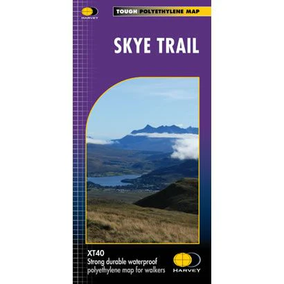
Skye Trail XT40 Harvey Map
This is a complete map of the Skye Trail long distance path, showing the entire route on 1 map. The Skye Trail is aimed at experienced hillwalkers and it generally follows the Trotternish Ridge, passing beneath the peaks and pinnacles of the Cuillin Ridge and along coastal cliffs. There are different variants to the Skye Trail of which are all covered on this map.
The map includes logistical information for walking the Skye Trail, including accommodation options, shops and refreshments. Directions to the start of the route are included plus enlargements of the local towns and villages showing what facilities are available.
Harvey XT40 Maps are printed on light, waterproof and tear-resistant synthetic paper, and it is GPS compatible. The map key and legend is in English, French and German text.
$26.44
Skye Trail XT40 Harvey Map—
$26.44
Skye Trail XT40 Harvey Map
This is a complete map of the Skye Trail long distance path, showing the entire route on 1 map. The Skye Trail is aimed at experienced hillwalkers and it generally follows the Trotternish Ridge, passing beneath the peaks and pinnacles of the Cuillin Ridge and along coastal cliffs. There are different variants to the Skye Trail of which are all covered on this map.
The map includes logistical information for walking the Skye Trail, including accommodation options, shops and refreshments. Directions to the start of the route are included plus enlargements of the local towns and villages showing what facilities are available.
Harvey XT40 Maps are printed on light, waterproof and tear-resistant synthetic paper, and it is GPS compatible. The map key and legend is in English, French and German text.
The map includes logistical information for walking the Skye Trail, including accommodation options, shops and refreshments. Directions to the start of the route are included plus enlargements of the local towns and villages showing what facilities are available.
Harvey XT40 Maps are printed on light, waterproof and tear-resistant synthetic paper, and it is GPS compatible. The map key and legend is in English, French and German text.
Product Information
Product Information
Shipping & Returns
Shipping & Returns
Description
This is a complete map of the Skye Trail long distance path, showing the entire route on 1 map. The Skye Trail is aimed at experienced hillwalkers and it generally follows the Trotternish Ridge, passing beneath the peaks and pinnacles of the Cuillin Ridge and along coastal cliffs. There are different variants to the Skye Trail of which are all covered on this map.
The map includes logistical information for walking the Skye Trail, including accommodation options, shops and refreshments. Directions to the start of the route are included plus enlargements of the local towns and villages showing what facilities are available.
Harvey XT40 Maps are printed on light, waterproof and tear-resistant synthetic paper, and it is GPS compatible. The map key and legend is in English, French and German text.
The map includes logistical information for walking the Skye Trail, including accommodation options, shops and refreshments. Directions to the start of the route are included plus enlargements of the local towns and villages showing what facilities are available.
Harvey XT40 Maps are printed on light, waterproof and tear-resistant synthetic paper, and it is GPS compatible. The map key and legend is in English, French and German text.


