Säntis Walking Map 3301T
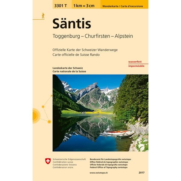
This Säntis Walking Map covers the mountain peak of Säntis at 2,502m high. Säntis is the highest mountain in the Alpstein massif of north-eastern Switzerland and one of the most prominent summits in the Alps. The map also covers the Churfirsten massif, along with the towns of Buches SG, Ebnat-Kappel, Sennwald and Nesslau.
The scale of this Säntis Walking Map (map number 3301T) is 1:33,333. Published by Swisstopo in cooperation with the Swiss Hiking Federation this map is printed on light, waterproof and tear-resistant paper.
The scale of this Säntis Walking Map (map number 3301T) is 1:33,333. Published by Swisstopo in cooperation with the Swiss Hiking Federation this map is printed on light, waterproof and tear-resistant paper.
$8.35
Original: $27.84
-70%Säntis Walking Map 3301T—
$27.84
$8.35Säntis Walking Map 3301T
This Säntis Walking Map covers the mountain peak of Säntis at 2,502m high. Säntis is the highest mountain in the Alpstein massif of north-eastern Switzerland and one of the most prominent summits in the Alps. The map also covers the Churfirsten massif, along with the towns of Buches SG, Ebnat-Kappel, Sennwald and Nesslau.
The scale of this Säntis Walking Map (map number 3301T) is 1:33,333. Published by Swisstopo in cooperation with the Swiss Hiking Federation this map is printed on light, waterproof and tear-resistant paper.
The scale of this Säntis Walking Map (map number 3301T) is 1:33,333. Published by Swisstopo in cooperation with the Swiss Hiking Federation this map is printed on light, waterproof and tear-resistant paper.
Product Information
Product Information
Shipping & Returns
Shipping & Returns
Description
This Säntis Walking Map covers the mountain peak of Säntis at 2,502m high. Säntis is the highest mountain in the Alpstein massif of north-eastern Switzerland and one of the most prominent summits in the Alps. The map also covers the Churfirsten massif, along with the towns of Buches SG, Ebnat-Kappel, Sennwald and Nesslau.
The scale of this Säntis Walking Map (map number 3301T) is 1:33,333. Published by Swisstopo in cooperation with the Swiss Hiking Federation this map is printed on light, waterproof and tear-resistant paper.
The scale of this Säntis Walking Map (map number 3301T) is 1:33,333. Published by Swisstopo in cooperation with the Swiss Hiking Federation this map is printed on light, waterproof and tear-resistant paper.


