Picos de Europa Map - Central and Eastern Areas
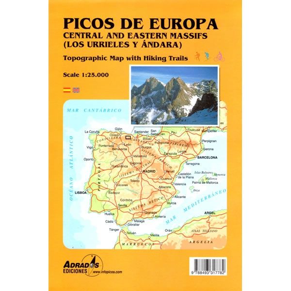
This Macizos Central y Oriental map for the Picos de Europa covers the central and eastern areas of this iconic massif in northern Spain (Los Urrieles y Andara). The map shows all the walking and hiking trails in the central and eastern areas of the Pico de Europe at a scale of 1:25,000.
Published in 2012 the map key/legend is in Spanish and English text.
Map Scale is 1:25,000
Folded size is 145mm x 215mm
ISBN is 9788493317782
Published in 2012 the map key/legend is in Spanish and English text.
Map Scale is 1:25,000
Folded size is 145mm x 215mm
ISBN is 9788493317782
$3.97
Original: $13.24
-70%Picos de Europa Map - Central and Eastern Areas—
$13.24
$3.97Picos de Europa Map - Central and Eastern Areas
This Macizos Central y Oriental map for the Picos de Europa covers the central and eastern areas of this iconic massif in northern Spain (Los Urrieles y Andara). The map shows all the walking and hiking trails in the central and eastern areas of the Pico de Europe at a scale of 1:25,000.
Published in 2012 the map key/legend is in Spanish and English text.
Map Scale is 1:25,000
Folded size is 145mm x 215mm
ISBN is 9788493317782
Published in 2012 the map key/legend is in Spanish and English text.
Map Scale is 1:25,000
Folded size is 145mm x 215mm
ISBN is 9788493317782
Product Information
Product Information
Shipping & Returns
Shipping & Returns
Description
This Macizos Central y Oriental map for the Picos de Europa covers the central and eastern areas of this iconic massif in northern Spain (Los Urrieles y Andara). The map shows all the walking and hiking trails in the central and eastern areas of the Pico de Europe at a scale of 1:25,000.
Published in 2012 the map key/legend is in Spanish and English text.
Map Scale is 1:25,000
Folded size is 145mm x 215mm
ISBN is 9788493317782
Published in 2012 the map key/legend is in Spanish and English text.
Map Scale is 1:25,000
Folded size is 145mm x 215mm
ISBN is 9788493317782


