Peak District South XT25 Superwalker Map
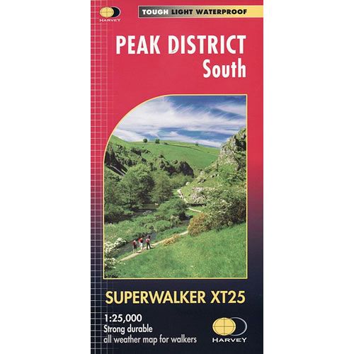
This is a detailed map of the southern part of the Peak District and is ideal for hillwalkers and hikers. The map shows the White Peak from Buxton to Matlock, including Leek, the Roaches and Dovedale.
Published in March 2015 by Harvey Maps, it is printed on light, waterproof and tear-resistant synthetic paper.
Map Scale is 1:25,000 and is GPS compatible.
Published in March 2015 by Harvey Maps, it is printed on light, waterproof and tear-resistant synthetic paper.
Map Scale is 1:25,000 and is GPS compatible.
$25.12
Peak District South XT25 Superwalker Map—
$25.12
Peak District South XT25 Superwalker Map
This is a detailed map of the southern part of the Peak District and is ideal for hillwalkers and hikers. The map shows the White Peak from Buxton to Matlock, including Leek, the Roaches and Dovedale.
Published in March 2015 by Harvey Maps, it is printed on light, waterproof and tear-resistant synthetic paper.
Map Scale is 1:25,000 and is GPS compatible.
Published in March 2015 by Harvey Maps, it is printed on light, waterproof and tear-resistant synthetic paper.
Map Scale is 1:25,000 and is GPS compatible.
Product Information
Product Information
Shipping & Returns
Shipping & Returns
Description
This is a detailed map of the southern part of the Peak District and is ideal for hillwalkers and hikers. The map shows the White Peak from Buxton to Matlock, including Leek, the Roaches and Dovedale.
Published in March 2015 by Harvey Maps, it is printed on light, waterproof and tear-resistant synthetic paper.
Map Scale is 1:25,000 and is GPS compatible.
Published in March 2015 by Harvey Maps, it is printed on light, waterproof and tear-resistant synthetic paper.
Map Scale is 1:25,000 and is GPS compatible.


