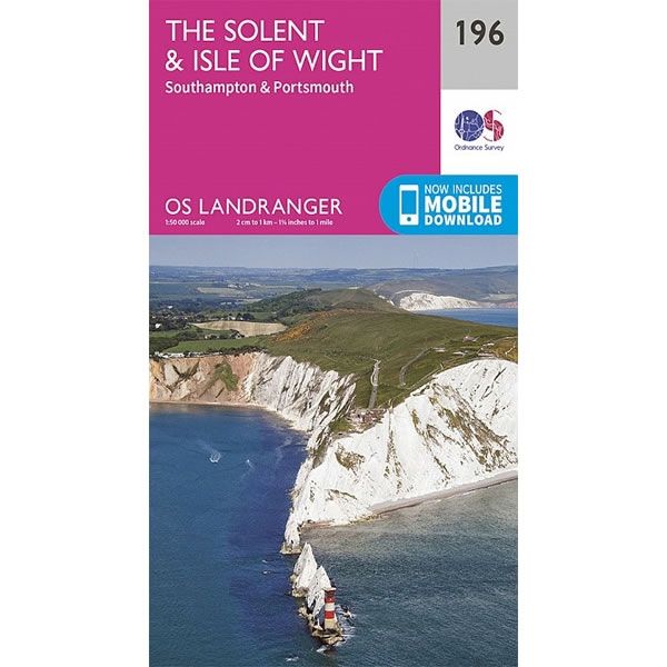
OS Landranger Map 196, The Solent and the Isle of Wight, Southampton and Portsmouth
This OS Landranger Map 196 covers The Solent and the Isle of Wight, including Southampton and Portsmouth.
The scale of the map is 1:50,000 where 2cm equals 1km, or 1º inches equals 1 mile.
With this map you will receive a code for a free mobile download onto your smartphone or tablet (iOS or Android).
The scale of the map is 1:50,000 where 2cm equals 1km, or 1º inches equals 1 mile.
With this map you will receive a code for a free mobile download onto your smartphone or tablet (iOS or Android).
Select Map Finish
From $9.94
Original: $33.14
-70%OS Landranger Map 196, The Solent and the Isle of Wight, Southampton and Portsmouth—
$33.14
$9.94OS Landranger Map 196, The Solent and the Isle of Wight, Southampton and Portsmouth
This OS Landranger Map 196 covers The Solent and the Isle of Wight, including Southampton and Portsmouth.
The scale of the map is 1:50,000 where 2cm equals 1km, or 1º inches equals 1 mile.
With this map you will receive a code for a free mobile download onto your smartphone or tablet (iOS or Android).
The scale of the map is 1:50,000 where 2cm equals 1km, or 1º inches equals 1 mile.
With this map you will receive a code for a free mobile download onto your smartphone or tablet (iOS or Android).
Product Information
Product Information
Shipping & Returns
Shipping & Returns
Description
This OS Landranger Map 196 covers The Solent and the Isle of Wight, including Southampton and Portsmouth.
The scale of the map is 1:50,000 where 2cm equals 1km, or 1º inches equals 1 mile.
With this map you will receive a code for a free mobile download onto your smartphone or tablet (iOS or Android).
The scale of the map is 1:50,000 where 2cm equals 1km, or 1º inches equals 1 mile.
With this map you will receive a code for a free mobile download onto your smartphone or tablet (iOS or Android).


