OS Explorer Map OL44 - Torquay, Dawlish and Newton Abbot
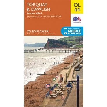
This OS Explorer OL44 Map covers Torquay, Dawlish, Teignmouth, Paignton, and Newton Abbot, along with the eastern edge of Dartmoor National Park.
The scale of this OL 44 Explorer map is 1:25,000 where 4cm equals 1km, or 2.5 inches equals 1 mile.
With this map you will receive a code for a free mobile download onto your smartphone or tablet (iOS or Android).
The scale of this OL 44 Explorer map is 1:25,000 where 4cm equals 1km, or 2.5 inches equals 1 mile.
With this map you will receive a code for a free mobile download onto your smartphone or tablet (iOS or Android).
Select Map Finish
From $5.17
Original: $17.22
-70%OS Explorer Map OL44 - Torquay, Dawlish and Newton Abbot—
$17.22
$5.17OS Explorer Map OL44 - Torquay, Dawlish and Newton Abbot
This OS Explorer OL44 Map covers Torquay, Dawlish, Teignmouth, Paignton, and Newton Abbot, along with the eastern edge of Dartmoor National Park.
The scale of this OL 44 Explorer map is 1:25,000 where 4cm equals 1km, or 2.5 inches equals 1 mile.
With this map you will receive a code for a free mobile download onto your smartphone or tablet (iOS or Android).
The scale of this OL 44 Explorer map is 1:25,000 where 4cm equals 1km, or 2.5 inches equals 1 mile.
With this map you will receive a code for a free mobile download onto your smartphone or tablet (iOS or Android).
Product Information
Product Information
Shipping & Returns
Shipping & Returns
Description
This OS Explorer OL44 Map covers Torquay, Dawlish, Teignmouth, Paignton, and Newton Abbot, along with the eastern edge of Dartmoor National Park.
The scale of this OL 44 Explorer map is 1:25,000 where 4cm equals 1km, or 2.5 inches equals 1 mile.
With this map you will receive a code for a free mobile download onto your smartphone or tablet (iOS or Android).
The scale of this OL 44 Explorer map is 1:25,000 where 4cm equals 1km, or 2.5 inches equals 1 mile.
With this map you will receive a code for a free mobile download onto your smartphone or tablet (iOS or Android).


