Obere Surselva Walking Map 3326T
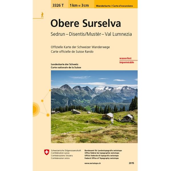
This Obere Surselva Walking Map covers the Surselva Valley including the towns of Sedrun, Disentis/Munster plus the Lumnezia Valley. The map shows the mountain peaks of Muraun, Nadels, and Mundaun.
The scale of this Obere Surselva Walking Map (map number 3326T) is 1:33,333. Published by Swisstopo in cooperation with the Swiss Hiking Federation this map is printed on light, waterproof and tear-resistant paper.
The scale of this Obere Surselva Walking Map (map number 3326T) is 1:33,333. Published by Swisstopo in cooperation with the Swiss Hiking Federation this map is printed on light, waterproof and tear-resistant paper.
$5.15
Original: $17.17
-70%Obere Surselva Walking Map 3326T—
$17.17
$5.15Obere Surselva Walking Map 3326T
This Obere Surselva Walking Map covers the Surselva Valley including the towns of Sedrun, Disentis/Munster plus the Lumnezia Valley. The map shows the mountain peaks of Muraun, Nadels, and Mundaun.
The scale of this Obere Surselva Walking Map (map number 3326T) is 1:33,333. Published by Swisstopo in cooperation with the Swiss Hiking Federation this map is printed on light, waterproof and tear-resistant paper.
The scale of this Obere Surselva Walking Map (map number 3326T) is 1:33,333. Published by Swisstopo in cooperation with the Swiss Hiking Federation this map is printed on light, waterproof and tear-resistant paper.
Product Information
Product Information
Shipping & Returns
Shipping & Returns
Description
This Obere Surselva Walking Map covers the Surselva Valley including the towns of Sedrun, Disentis/Munster plus the Lumnezia Valley. The map shows the mountain peaks of Muraun, Nadels, and Mundaun.
The scale of this Obere Surselva Walking Map (map number 3326T) is 1:33,333. Published by Swisstopo in cooperation with the Swiss Hiking Federation this map is printed on light, waterproof and tear-resistant paper.
The scale of this Obere Surselva Walking Map (map number 3326T) is 1:33,333. Published by Swisstopo in cooperation with the Swiss Hiking Federation this map is printed on light, waterproof and tear-resistant paper.


