Napf - Sörenberg Walking Map 3321T
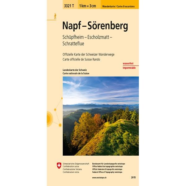
This Napf - Sörenberg Walking Map covers Napf a mountain in the Emmental Valley plus the towns of Sörenberg, Schupfheim and Escholzmatt, along with the mountain of Schratteflue to the east of Bern.
The scale of this Napf - Sörenberg Walking Map (map number 3321T) is 1:33,333. Published by Swisstopo in cooperation with the Swiss Hiking Federation this map is printed on light, waterproof and tear-resistant paper.
The scale of this Napf - Sörenberg Walking Map (map number 3321T) is 1:33,333. Published by Swisstopo in cooperation with the Swiss Hiking Federation this map is printed on light, waterproof and tear-resistant paper.
$5.15
Original: $17.17
-70%Napf - Sörenberg Walking Map 3321T—
$17.17
$5.15Napf - Sörenberg Walking Map 3321T
This Napf - Sörenberg Walking Map covers Napf a mountain in the Emmental Valley plus the towns of Sörenberg, Schupfheim and Escholzmatt, along with the mountain of Schratteflue to the east of Bern.
The scale of this Napf - Sörenberg Walking Map (map number 3321T) is 1:33,333. Published by Swisstopo in cooperation with the Swiss Hiking Federation this map is printed on light, waterproof and tear-resistant paper.
The scale of this Napf - Sörenberg Walking Map (map number 3321T) is 1:33,333. Published by Swisstopo in cooperation with the Swiss Hiking Federation this map is printed on light, waterproof and tear-resistant paper.
Product Information
Product Information
Shipping & Returns
Shipping & Returns
Description
This Napf - Sörenberg Walking Map covers Napf a mountain in the Emmental Valley plus the towns of Sörenberg, Schupfheim and Escholzmatt, along with the mountain of Schratteflue to the east of Bern.
The scale of this Napf - Sörenberg Walking Map (map number 3321T) is 1:33,333. Published by Swisstopo in cooperation with the Swiss Hiking Federation this map is printed on light, waterproof and tear-resistant paper.
The scale of this Napf - Sörenberg Walking Map (map number 3321T) is 1:33,333. Published by Swisstopo in cooperation with the Swiss Hiking Federation this map is printed on light, waterproof and tear-resistant paper.


