Loch Lomond and The Trossachs XT25 Map
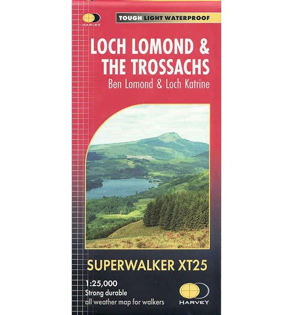
This is a detailed map of Loch Lomond and the Trossachs that is ideal for hillwalkers and hikers at a scale of 1:25,000. This map shows 7 Munros, 7 Corbetts and 6 Grahams.
This map includes Scotland’s most southerly Munro, Ben Lomond, plus there is an inset map for access to Ben Vorlich from Loch Earn. The map also covers The Great Trossachs Forest, Loch Katrine, Ben Ledi, and Queen Elizabeth Forest Park.
Published in May 2022 by Harvey Maps, it is printed on light, waterproof and tear-resistant synthetic paper.
Loch Lomond and The Trossachs XT25 Map
This is a detailed map of Loch Lomond and the Trossachs that is ideal for hillwalkers and hikers at a scale of 1:25,000. This map shows 7 Munros, 7 Corbetts and 6 Grahams.
This map includes Scotland’s most southerly Munro, Ben Lomond, plus there is an inset map for access to Ben Vorlich from Loch Earn. The map also covers The Great Trossachs Forest, Loch Katrine, Ben Ledi, and Queen Elizabeth Forest Park.
Published in May 2022 by Harvey Maps, it is printed on light, waterproof and tear-resistant synthetic paper.
Product Information
Product Information
Shipping & Returns
Shipping & Returns
Description
This is a detailed map of Loch Lomond and the Trossachs that is ideal for hillwalkers and hikers at a scale of 1:25,000. This map shows 7 Munros, 7 Corbetts and 6 Grahams.
This map includes Scotland’s most southerly Munro, Ben Lomond, plus there is an inset map for access to Ben Vorlich from Loch Earn. The map also covers The Great Trossachs Forest, Loch Katrine, Ben Ledi, and Queen Elizabeth Forest Park.
Published in May 2022 by Harvey Maps, it is printed on light, waterproof and tear-resistant synthetic paper.


