Llyn Peninsula Coast Path Map
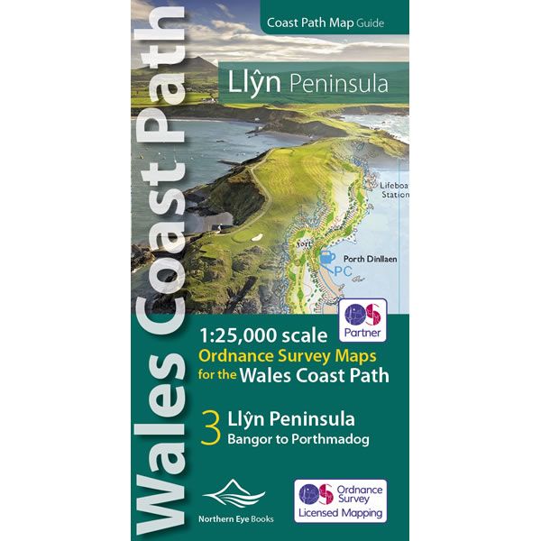
This Llyn Peninsula Coast Path Atlas provides all the mapping you need to walk the Llyn Peninsula section of the Wales Coast Path at a scale of 1:25,000, using OS mapping. Additional map symbols show tea shops, cafes, extra parking, and public toilets at the main towns and villages.
At the start of the booklet there is a brief introduction to the Llyn Peninsula includes a fascinating photo mosaic highlighting notable views, places of interest and wildlife you’ll meet along the way. There is also a section of detailed Useful Information at the back of the atlas.
The laminated flapped covers show the Wales Coast Path signs and waymarkers, route details and map symbols make this Llyn Peninsula Coast Path Atlas simple and easy to use.
Original: $15.84
-70%$15.84
$4.75Llyn Peninsula Coast Path Map
This Llyn Peninsula Coast Path Atlas provides all the mapping you need to walk the Llyn Peninsula section of the Wales Coast Path at a scale of 1:25,000, using OS mapping. Additional map symbols show tea shops, cafes, extra parking, and public toilets at the main towns and villages.
At the start of the booklet there is a brief introduction to the Llyn Peninsula includes a fascinating photo mosaic highlighting notable views, places of interest and wildlife you’ll meet along the way. There is also a section of detailed Useful Information at the back of the atlas.
The laminated flapped covers show the Wales Coast Path signs and waymarkers, route details and map symbols make this Llyn Peninsula Coast Path Atlas simple and easy to use.
Product Information
Product Information
Shipping & Returns
Shipping & Returns
Description
This Llyn Peninsula Coast Path Atlas provides all the mapping you need to walk the Llyn Peninsula section of the Wales Coast Path at a scale of 1:25,000, using OS mapping. Additional map symbols show tea shops, cafes, extra parking, and public toilets at the main towns and villages.
At the start of the booklet there is a brief introduction to the Llyn Peninsula includes a fascinating photo mosaic highlighting notable views, places of interest and wildlife you’ll meet along the way. There is also a section of detailed Useful Information at the back of the atlas.
The laminated flapped covers show the Wales Coast Path signs and waymarkers, route details and map symbols make this Llyn Peninsula Coast Path Atlas simple and easy to use.


