Klausenpass Walking Map 3313T
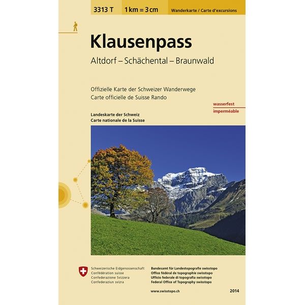
This Klausenpass Walking Map covers the Klausen Pass, a high mountain pass in the Swiss Alps connecting the towns of Altdorf and Linthal. It also covers Schächental (Schächen Valley) and the car-free resort of Braunwald.
The scale of this Klausenpass Walking Map (map number 3313T) is 1:33,333. Published by Swisstopo in cooperation with the Swiss Hiking Federation this map is printed on light, waterproof and tear-resistant paper.
The scale of this Klausenpass Walking Map (map number 3313T) is 1:33,333. Published by Swisstopo in cooperation with the Swiss Hiking Federation this map is printed on light, waterproof and tear-resistant paper.
$8.35
Original: $27.84
-70%Klausenpass Walking Map 3313T—
$27.84
$8.35Klausenpass Walking Map 3313T
This Klausenpass Walking Map covers the Klausen Pass, a high mountain pass in the Swiss Alps connecting the towns of Altdorf and Linthal. It also covers Schächental (Schächen Valley) and the car-free resort of Braunwald.
The scale of this Klausenpass Walking Map (map number 3313T) is 1:33,333. Published by Swisstopo in cooperation with the Swiss Hiking Federation this map is printed on light, waterproof and tear-resistant paper.
The scale of this Klausenpass Walking Map (map number 3313T) is 1:33,333. Published by Swisstopo in cooperation with the Swiss Hiking Federation this map is printed on light, waterproof and tear-resistant paper.
Product Information
Product Information
Shipping & Returns
Shipping & Returns
Description
This Klausenpass Walking Map covers the Klausen Pass, a high mountain pass in the Swiss Alps connecting the towns of Altdorf and Linthal. It also covers Schächental (Schächen Valley) and the car-free resort of Braunwald.
The scale of this Klausenpass Walking Map (map number 3313T) is 1:33,333. Published by Swisstopo in cooperation with the Swiss Hiking Federation this map is printed on light, waterproof and tear-resistant paper.
The scale of this Klausenpass Walking Map (map number 3313T) is 1:33,333. Published by Swisstopo in cooperation with the Swiss Hiking Federation this map is printed on light, waterproof and tear-resistant paper.


