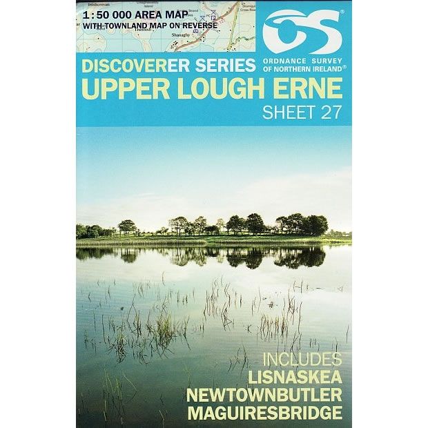
Irish Discoverer Map 27, Upper Lough Erne
Discoverer Map No. 27 covers Upper Lough Erne and includes Lisnaskea, Newtownbutler and Maguiresbridge. The map also covers Rosslea, Clones, Newbliss, Cootehill, Belturbet, Ballyconnell and Derrylin.
The Irish OS Discoverer series of maps cover the whole of Northern Ireland at a scale of 1:50,000.
Scale is 1:50,000.
ISBN is 9781911643012.
Original: $14.51
-70%$14.51
$4.35Irish Discoverer Map 27, Upper Lough Erne
Discoverer Map No. 27 covers Upper Lough Erne and includes Lisnaskea, Newtownbutler and Maguiresbridge. The map also covers Rosslea, Clones, Newbliss, Cootehill, Belturbet, Ballyconnell and Derrylin.
The Irish OS Discoverer series of maps cover the whole of Northern Ireland at a scale of 1:50,000.
Scale is 1:50,000.
ISBN is 9781911643012.
Product Information
Product Information
Shipping & Returns
Shipping & Returns
Description
Discoverer Map No. 27 covers Upper Lough Erne and includes Lisnaskea, Newtownbutler and Maguiresbridge. The map also covers Rosslea, Clones, Newbliss, Cootehill, Belturbet, Ballyconnell and Derrylin.
The Irish OS Discoverer series of maps cover the whole of Northern Ireland at a scale of 1:50,000.
Scale is 1:50,000.
ISBN is 9781911643012.


