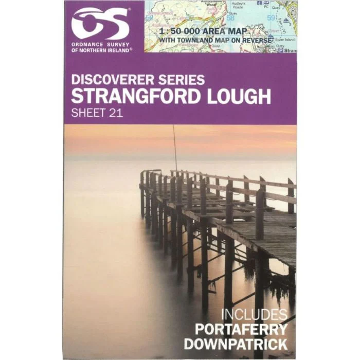
Irish Discoverer Map 21, Strangford Lough
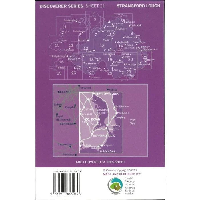
Discoverer Map No. 21 covers Strangford Lough and includes Newtownards, Downpatrick and Comber. The map also covers Ballygowan, Killough, Ardglass, Strangford, Portaferry, Cloghey, Portavogie, Kircubbin, Ballyhalbert, Greyabbey and Ballywater.
The Irish OS Discoverer series of maps cover the whole of Northern Ireland at a scale of 1:50,000.
Scale 1:50,000.
ISBN is 9781911643074.
Original: $14.51
-70%$14.51
$4.35More Images
Irish Discoverer Map 21, Strangford Lough
Discoverer Map No. 21 covers Strangford Lough and includes Newtownards, Downpatrick and Comber. The map also covers Ballygowan, Killough, Ardglass, Strangford, Portaferry, Cloghey, Portavogie, Kircubbin, Ballyhalbert, Greyabbey and Ballywater.
The Irish OS Discoverer series of maps cover the whole of Northern Ireland at a scale of 1:50,000.
Scale 1:50,000.
ISBN is 9781911643074.
Product Information
Product Information
Shipping & Returns
Shipping & Returns
Description
Discoverer Map No. 21 covers Strangford Lough and includes Newtownards, Downpatrick and Comber. The map also covers Ballygowan, Killough, Ardglass, Strangford, Portaferry, Cloghey, Portavogie, Kircubbin, Ballyhalbert, Greyabbey and Ballywater.
The Irish OS Discoverer series of maps cover the whole of Northern Ireland at a scale of 1:50,000.
Scale 1:50,000.
ISBN is 9781911643074.


