Irish Discoverer Map 17, Lower Lough Erne
Discoverer Map No. 17 covers Lower Lough Erne and includes Enniskillen, Irvinestown and Ballinamallard. The map also covers Belleck, Garrison, Derrygonnelly, Kesh, Ederney and Pettigoe. The Irish OS Discoverer series of maps cover the whole of Northern Ireland at a scale of 1:50,000.
Scale is 1:50,000.
ISBN is 9781905306862.
Product Information
Product Information
Shipping & Returns
Shipping & Returns
Description
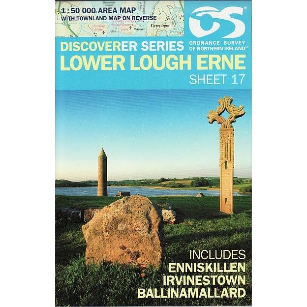
Discoverer Map No. 17 covers Lower Lough Erne and includes Enniskillen, Irvinestown and Ballinamallard. The map also covers Belleck, Garrison, Derrygonnelly, Kesh, Ederney and Pettigoe. The Irish OS Discoverer series of maps cover the whole of Northern Ireland at a scale of 1:50,000.
Scale is 1:50,000.
ISBN is 9781905306862.


