IGN 3532 ET - Les Arcs and La Plagne Walking Map
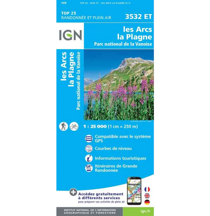
This walking map covers Les Arcs and La Plagne and part of the Parc National de la Vanoise. It also includes the town of Peisey-Nancroix and the peak of Mont Pourri (3,779m).
Published by IGN, the scale of this map is 1:25,000 that converts to 4cm to 1km. The map is GPS compatible with the legend/key is in French, German and English text.
Map Scale is 1:25,000.
IGN map code is 3532ET
ISBN is 9782758547167.
Original: $25.12
-70%$25.12
$7.54IGN 3532 ET - Les Arcs and La Plagne Walking Map
This walking map covers Les Arcs and La Plagne and part of the Parc National de la Vanoise. It also includes the town of Peisey-Nancroix and the peak of Mont Pourri (3,779m).
Published by IGN, the scale of this map is 1:25,000 that converts to 4cm to 1km. The map is GPS compatible with the legend/key is in French, German and English text.
Map Scale is 1:25,000.
IGN map code is 3532ET
ISBN is 9782758547167.
Product Information
Product Information
Shipping & Returns
Shipping & Returns
Description
This walking map covers Les Arcs and La Plagne and part of the Parc National de la Vanoise. It also includes the town of Peisey-Nancroix and the peak of Mont Pourri (3,779m).
Published by IGN, the scale of this map is 1:25,000 that converts to 4cm to 1km. The map is GPS compatible with the legend/key is in French, German and English text.
Map Scale is 1:25,000.
IGN map code is 3532ET
ISBN is 9782758547167.


