Cheviot Hills XT25 Superwalker Map
This Cheviot Hills XT25 Superwalker Map is a detailed map for hillwalkers and cyclists of the Cheviot, Newton Tors and Kirknewton at a scale of 1:25,000.
The map also includes the northern section of the Pennine Way from Brownhart Law to Kirk Yetholm.
Harvey Maps are tough, light, durable and 100% waterproof that show the core walking maps. Published in May 2022.
Product Information
Product Information
Shipping & Returns
Shipping & Returns
Description
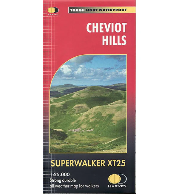
This Cheviot Hills XT25 Superwalker Map is a detailed map for hillwalkers and cyclists of the Cheviot, Newton Tors and Kirknewton at a scale of 1:25,000.
The map also includes the northern section of the Pennine Way from Brownhart Law to Kirk Yetholm.
Harvey Maps are tough, light, durable and 100% waterproof that show the core walking maps. Published in May 2022.


