Andermatt Walking Map 3314T
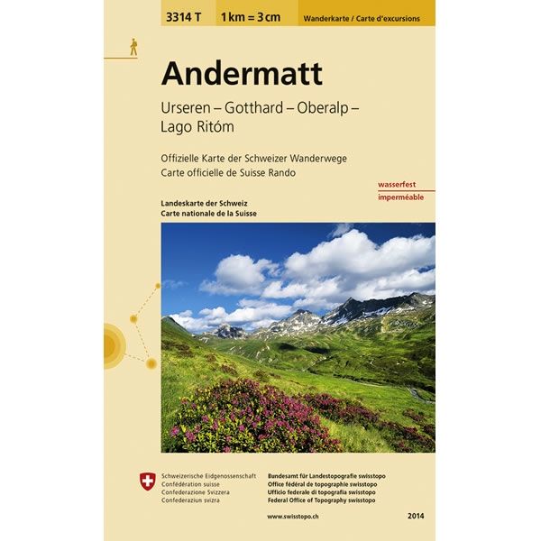
This Andermatt Walking Map covers the town of Andermatt, plus the Urseren Valley, Gotthard Pass, Oberalp Pass and Lago Ritom a lake in the Piora valley.
The scale of this Andermatt Walking Map (map number 3314T) is 1:33,333. Published by Swisstopo in cooperation with the Swiss Hiking Federation this map is printed on light, waterproof and tear-resistant paper.
The scale of this Andermatt Walking Map (map number 3314T) is 1:33,333. Published by Swisstopo in cooperation with the Swiss Hiking Federation this map is printed on light, waterproof and tear-resistant paper.
$8.35
Original: $27.84
-70%Andermatt Walking Map 3314T—
$27.84
$8.35Andermatt Walking Map 3314T
This Andermatt Walking Map covers the town of Andermatt, plus the Urseren Valley, Gotthard Pass, Oberalp Pass and Lago Ritom a lake in the Piora valley.
The scale of this Andermatt Walking Map (map number 3314T) is 1:33,333. Published by Swisstopo in cooperation with the Swiss Hiking Federation this map is printed on light, waterproof and tear-resistant paper.
The scale of this Andermatt Walking Map (map number 3314T) is 1:33,333. Published by Swisstopo in cooperation with the Swiss Hiking Federation this map is printed on light, waterproof and tear-resistant paper.
Product Information
Product Information
Shipping & Returns
Shipping & Returns
Description
This Andermatt Walking Map covers the town of Andermatt, plus the Urseren Valley, Gotthard Pass, Oberalp Pass and Lago Ritom a lake in the Piora valley.
The scale of this Andermatt Walking Map (map number 3314T) is 1:33,333. Published by Swisstopo in cooperation with the Swiss Hiking Federation this map is printed on light, waterproof and tear-resistant paper.
The scale of this Andermatt Walking Map (map number 3314T) is 1:33,333. Published by Swisstopo in cooperation with the Swiss Hiking Federation this map is printed on light, waterproof and tear-resistant paper.


